
Thank you for supporting this site ❤️
Make a donation
Make a donation
Great Cacapon topographic map
Click on the map to display elevation.
Thank you for supporting this site ❤️
Make a donation
Make a donation
About this map
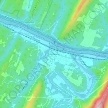
Name: Great Cacapon topographic map, elevation, terrain.
Location: Great Cacapon, Morgan County, West Virginia, United States (39.60009 -78.31251 39.64009 -78.27251)
Average elevation: 188 m
Minimum elevation: 122 m
Maximum elevation: 453 m
Thank you for supporting this site ❤️
Make a donation
Make a donation