
Subdivision Danville topographic map
Interactive map
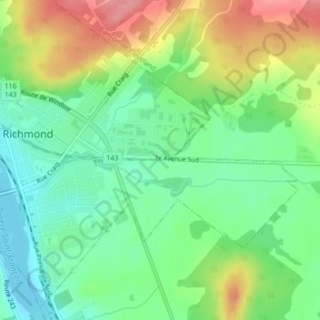
Click on the map to display elevation.
About this map
Name: Subdivision Danville topographic map, elevation, terrain.
Average elevation: 151 m
Minimum elevation: 114 m
Maximum elevation: 208 m
Other topographic maps
Click on a map to view its topography, its elevation and its terrain.
Richmond
Canada > Québec > Le Val-Saint-François > Ville de Richmond
Richmond, Ville de Richmond, Le Val-Saint-François, Estrie, Québec, J0B 2H0, Canada
Average elevation: 189 m