
Meysse topographic map
Interactive map
Click on the map to display elevation.
About this map
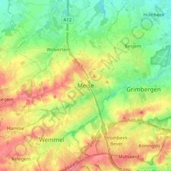
Name: Meysse topographic map, elevation, terrain.
Location: Meysse, Hal-Vilvorde, Brabant flamand, Flandre, 1860, Belgique (50.89416 4.28873 50.97416 4.36873)
Average elevation: 41 m
Minimum elevation: 9 m
Maximum elevation: 80 m