
Thank you for supporting this site ❤️
Make a donation
Make a donation
Gwari topographic map
Click on the map to display elevation.
Thank you for supporting this site ❤️
Make a donation
Make a donation
About this map
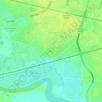
Name: Gwari topographic map, elevation, terrain.
Location: Gwari, Lucknow, Uttar Pradesh, 226010, India (26.82561 80.97607 26.86561 81.01607)
Average elevation: 113 m
Minimum elevation: 104 m
Maximum elevation: 121 m
Thank you for supporting this site ❤️
Make a donation
Make a donation
Other topographic maps
Click on a map to view its topography, its elevation and its terrain.