
Matagente topographic map
Interactive map
Click on the map to display elevation.
About this map
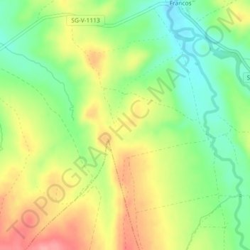
Name: Matagente topographic map, elevation, terrain.
Location: Matagente, Ayllón, Segovia, Castilla y León, España (41.35342 -3.37403 41.37342 -3.35403)
Average elevation: 1,050 m
Minimum elevation: 1,006 m
Maximum elevation: 1,101 m