
龙安乡 topographic map
Interactive map
Click on the map to display elevation.
About this map
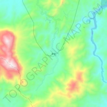
Name: 龙安乡 topographic map, elevation, terrain.
Location: 龙安乡, Xian de Taining, Sanming, Fujian, RPC (26.59372 116.99489 26.67372 117.07489)
Average elevation: 569 m
Minimum elevation: 242 m
Maximum elevation: 1,320 m