
Kulai topographic map
Interactive map
Click on the map to display elevation.
About this map
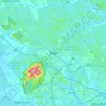
Name: Kulai topographic map, elevation, terrain.
Location: Kulai, Iskandar Malaysia, Johor, 81000, Malaysia (1.49694 103.44588 1.81694 103.76588)
Average elevation: 44 m
Minimum elevation: 1 m
Maximum elevation: 625 m
Other topographic maps
Click on a map to view its topography, its elevation and its terrain.