
Make a donation
Abbeville topographic map
Click on the map to display elevation.
Make a donation
Abbeville
Abbeville is located at 29°58′31.422″N 92°7′37.7652″W / 29.97539500°N 92.127157000°W / 29.97539500; -92.127157000 and has an elevation of 16 feet (4.9 m). According to the United States Census Bureau, the town has a total area of 5.7 square miles (14.7629 km2), of which 5.7 square miles (15 km2) is land and 0.04 square miles (0.10 km2) (0.53%) is water. Abbeville is located near the southern terminus of U.S. Highway 167. Abbeville Chris Crusta Memorial Airport is in the eastern part of the city. The Vermilion River runs through downtown, and several canals and coulees run through other parts of Abbeville.
Make a donation
About this map
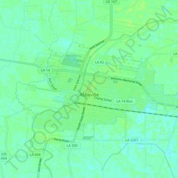
Name: Abbeville topographic map, elevation, terrain.
Location: Abbeville, Vermilion Parish, Louisiana, 70510, United States (29.95691 -92.16533 29.99695 -92.07840)
Average elevation: 5 m
Minimum elevation: -1 m
Maximum elevation: 9 m
Make a donation
Other topographic maps
Click on a map to view its topography, its elevation and its terrain.