
Thank you for supporting this site ❤️
Make a donation
Make a donation
Grand Island topographic map
Click on the map to display elevation.
Thank you for supporting this site ❤️
Make a donation
Make a donation
About this map
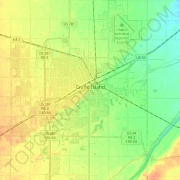
Name: Grand Island topographic map, elevation, terrain.
Location: Grand Island, Hall County, Nebraska, United States (40.85499 -98.43146 40.98888 -98.28821)
Average elevation: 567 m
Minimum elevation: 550 m
Maximum elevation: 583 m
Thank you for supporting this site ❤️
Make a donation
Make a donation