
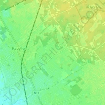
Hoogboom-Zilverenhoek topographic map
Interactive map
Click on the map to display elevation.
About this map
Name: Hoogboom-Zilverenhoek topographic map, elevation, terrain.
Location: Hoogboom-Zilverenhoek, Kapellen, Anvers, Flandre, Belgique (51.29266 4.42070 51.33386 4.47452)
Average elevation: 10 m
Minimum elevation: 0 m
Maximum elevation: 17 m