
Thank you for supporting this site ❤️
Make a donation
Make a donation
Kneysurin topographic map
Click on the map to display elevation.
Thank you for supporting this site ❤️
Make a donation
Make a donation
About this map
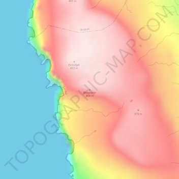
Name: Kneysurin topographic map, elevation, terrain.
Location: Kneysurin, Sandur, Sandoyar sýsla, 210, Færøerne (61.87004 -6.90222 61.87014 -6.90212)
Average elevation: 221 m
Minimum elevation: -6 m
Maximum elevation: 410 m
Thank you for supporting this site ❤️
Make a donation
Make a donation