
Thank you for supporting this site ❤️
Make a donation
Make a donation
Halgafelstindur topographic map
Click on the map to display elevation.
Thank you for supporting this site ❤️
Make a donation
Make a donation
About this map
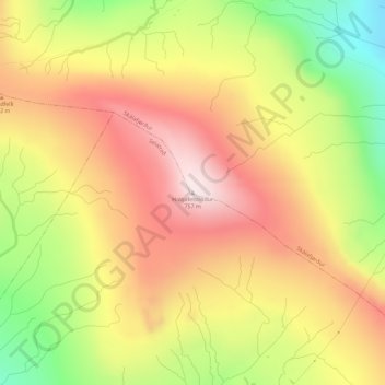
Name: Halgafelstindur topographic map, elevation, terrain.
Location: Halgafelstindur, Skálafjørður, Eysturoyar sýsla, 485, Færøerne (62.19315 -6.90470 62.19325 -6.90460)
Average elevation: 468 m
Minimum elevation: 146 m
Maximum elevation: 729 m
Thank you for supporting this site ❤️
Make a donation
Make a donation