
Thank you for supporting this site ❤️
Make a donation
Make a donation
Eystnes topographic map
Click on the map to display elevation.
Thank you for supporting this site ❤️
Make a donation
Make a donation
About this map
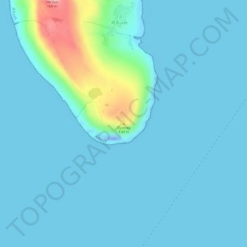
Name: Eystnes topographic map, elevation, terrain.
Location: Eystnes, Nes, Eysturoy, Eysturoyar sýsla, 655, Færøerne (62.05824 -6.69293 62.05834 -6.69283)
Average elevation: 18 m
Minimum elevation: -47 m
Maximum elevation: 160 m
Thank you for supporting this site ❤️
Make a donation
Make a donation