
Limanowa topographic map
Interactive map
Click on the map to display elevation.
About this map
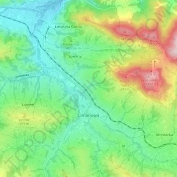
Name: Limanowa topographic map, elevation, terrain.
Location: Limanowa, Limanowa County, Lesser Poland Voivodeship, Poland (49.68559 20.36855 49.74439 20.45204)
Average elevation: 492 m
Minimum elevation: 343 m
Maximum elevation: 824 m