
Lamb topographic map
Interactive map
Click on the map to display elevation.
About this map
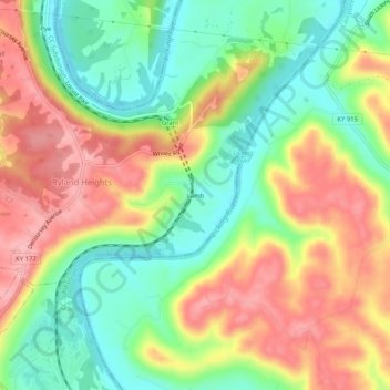
Name: Lamb topographic map, elevation, terrain.
Location: Lamb, Comté de Kenton, Kentucky, États-Unis d'Amérique (38.93617 -84.46800 38.97617 -84.42800)
Average elevation: 201 m
Minimum elevation: 138 m
Maximum elevation: 270 m