
Parque Guillermina topographic map
Interactive map
Click on the map to display elevation.
About this map
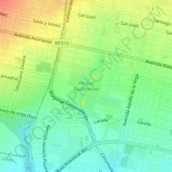
Name: Parque Guillermina topographic map, elevation, terrain.
Average elevation: 445 m
Minimum elevation: 422 m
Maximum elevation: 475 m
Other topographic maps
Click on a map to view its topography, its elevation and its terrain.
San Miguel de Tucumán
Argentina > Tucumán > San Miguel de Tucumán
San Miguel de Tucumán, Departamento Capital, Tucumán, T4000, Argentina
Average elevation: 447 m