
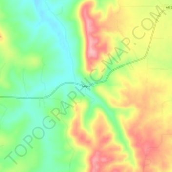
Maple topographic map
Interactive map
Click on the map to display elevation.
About this map
Name: Maple topographic map, elevation, terrain.
Location: Maple, Carroll County, Arkansas, United States (36.41479 -93.51741 36.45479 -93.47741)
Average elevation: 394 m
Minimum elevation: 330 m
Maximum elevation: 469 m