
Anchorage topographic map
Interactive map
Click on the map to display elevation.
About this map
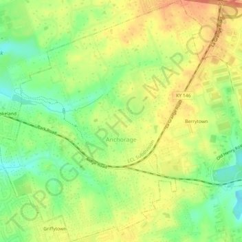
Name: Anchorage topographic map, elevation, terrain.
Location: Anchorage, Jefferson County, Kentucky, United States (38.25178 -85.55566 38.28676 -85.51815)
Average elevation: 219 m
Minimum elevation: 195 m
Maximum elevation: 238 m