
Thank you for supporting this site ❤️
Make a donation
Make a donation
Froidchapelle topographic map
Click on the map to display elevation.
Thank you for supporting this site ❤️
Make a donation
Make a donation
About this map
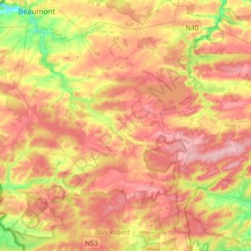
Name: Froidchapelle topographic map, elevation, terrain.
Location: Froidchapelle, Thuin, Hennegau, Wallonien, Belgien (50.08263 4.28199 50.24342 4.40114)
Average elevation: 236 m
Minimum elevation: 152 m
Maximum elevation: 300 m
Thank you for supporting this site ❤️
Make a donation
Make a donation