
Thank you for supporting this site ❤️
Make a donation
Make a donation
Hayesville Landing topographic map
Click on the map to display elevation.
Thank you for supporting this site ❤️
Make a donation
Make a donation
About this map
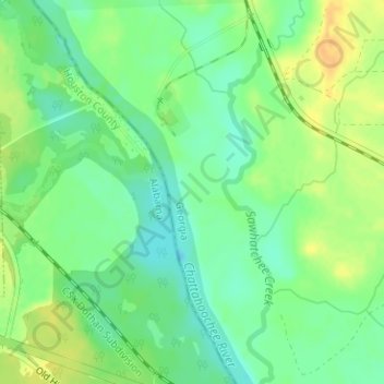
Name: Hayesville Landing topographic map, elevation, terrain.
Location: Hayesville Landing, Early County, Georgia, United States (31.12913 -85.07038 31.14913 -85.05038)
Average elevation: 35 m
Minimum elevation: 21 m
Maximum elevation: 52 m
Thank you for supporting this site ❤️
Make a donation
Make a donation
Other topographic maps
Click on a map to view its topography, its elevation and its terrain.