
Thank you for supporting this site ❤️
Make a donation
Make a donation
Sendero topographic map
Click on the map to display elevation.
Thank you for supporting this site ❤️
Make a donation
Make a donation
About this map
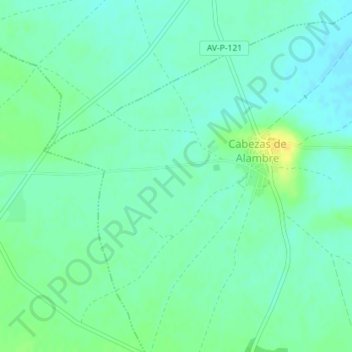
Name: Sendero topographic map, elevation, terrain.
Location: Sendero, Cabezas de Alambre, Ávila, Castilla y León, España (40.93042 -4.85985 40.95042 -4.83985)
Average elevation: 888 m
Minimum elevation: 880 m
Maximum elevation: 904 m
Thank you for supporting this site ❤️
Make a donation
Make a donation