
Voorstraat topographic map
Interactive map
Click on the map to display elevation.
About this map
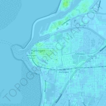
Name: Voorstraat topographic map, elevation, terrain.
Average elevation: 1 m
Minimum elevation: -3 m
Maximum elevation: 9 m
Other topographic maps
Click on a map to view its topography, its elevation and its terrain.
Van Harinxmakanaal
Nederland > Friesland > Harlingen
Van Harinxmakanaal, Harlingen, Friesland, Nederland, 8861NZ, Nederland
Average elevation: 1 m