
Thank you for supporting this site ❤️
Make a donation
Make a donation
Haven Heights topographic map
Click on the map to display elevation.
Thank you for supporting this site ❤️
Make a donation
Make a donation
About this map
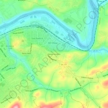
Name: Haven Heights topographic map, elevation, terrain.
Location: Haven Heights, Radford, Virginia, 24142, United States (37.11124 -80.56533 37.15124 -80.52533)
Average elevation: 573 m
Minimum elevation: 515 m
Maximum elevation: 682 m
Thank you for supporting this site ❤️
Make a donation
Make a donation