
Thank you for supporting this site ❤️
Make a donation
Make a donation
Hoover topographic map
Click on the map to display elevation.
Thank you for supporting this site ❤️
Make a donation
Make a donation
About this map
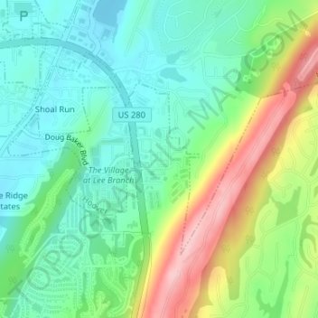
Name: Hoover topographic map, elevation, terrain.
Location: Hoover, Shelby County, Alabama, United States (33.40841 -86.66389 33.40997 -86.66058)
Average elevation: 238 m
Minimum elevation: 178 m
Maximum elevation: 358 m
Thank you for supporting this site ❤️
Make a donation
Make a donation