
Thank you for supporting this site ❤️
Make a donation
Make a donation
Sankt Ingbert topographic map
Click on the map to display elevation.
Thank you for supporting this site ❤️
Make a donation
Make a donation
About this map
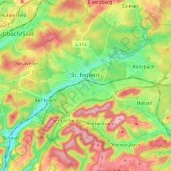
Name: Sankt Ingbert topographic map, elevation, terrain.
Location: Sankt Ingbert, Saarpfalz-Kreis, Saarland, 66386, Germany (49.23677 7.06207 49.30990 7.19357)
Average elevation: 291 m
Minimum elevation: 200 m
Maximum elevation: 406 m
Thank you for supporting this site ❤️
Make a donation
Make a donation