
Thank you for supporting this site ❤️
Make a donation
Make a donation
Oletha topographic map
Click on the map to display elevation.
Thank you for supporting this site ❤️
Make a donation
Make a donation
About this map
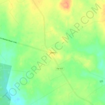
Name: Oletha topographic map, elevation, terrain.
Location: Oletha, Limestone County, Texas, United States (31.33851 -96.43303 31.37851 -96.39303)
Average elevation: 133 m
Minimum elevation: 112 m
Maximum elevation: 155 m
Thank you for supporting this site ❤️
Make a donation
Make a donation
Other topographic maps
Click on a map to view its topography, its elevation and its terrain.