
Thank you for supporting this site ❤️
Make a donation
Make a donation
Archena topographic map
Click on the map to display elevation.
Thank you for supporting this site ❤️
Make a donation
Make a donation
Archena
Die Kleinstadt Archena liegt am Río Segura gut 25 km (Fahrtstrecke) nordwestlich der Stadt Murcia in einer Höhe von ca. 110 m ü. d. M. Das Klima im Winter ist gemäßigt, im Sommer dagegen warm bis heiß; die geringen Niederschlagsmengen (ca. 300 mm/Jahr) fallen – mit Ausnahme der nahezu regenlosen Sommermonate – verteilt übers ganze Jahr.
Thank you for supporting this site ❤️
Make a donation
Make a donation
About this map
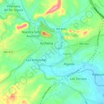
Name: Archena topographic map, elevation, terrain.
Average elevation: 131 m
Minimum elevation: 80 m
Maximum elevation: 271 m
Thank you for supporting this site ❤️
Make a donation
Make a donation