
Thank you for supporting this site ❤️
Make a donation
Make a donation
Kayuringinjaya topographic map
Click on the map to display elevation.
Thank you for supporting this site ❤️
Make a donation
Make a donation
About this map
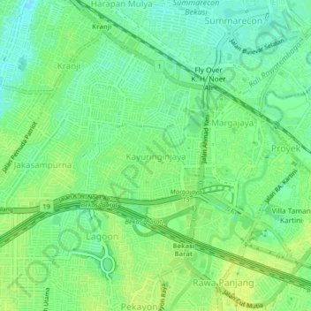
Name: Kayuringinjaya topographic map, elevation, terrain.
Location: Kayuringinjaya, Bekasi, West Java, Java, 17144, Indonesia (-6.26240 106.96685 -6.22240 107.00685)
Average elevation: 20 m
Minimum elevation: 11 m
Maximum elevation: 27 m
Thank you for supporting this site ❤️
Make a donation
Make a donation
Other topographic maps
Click on a map to view its topography, its elevation and its terrain.