
Huang topographic map
Click on the map to display elevation.
About this map
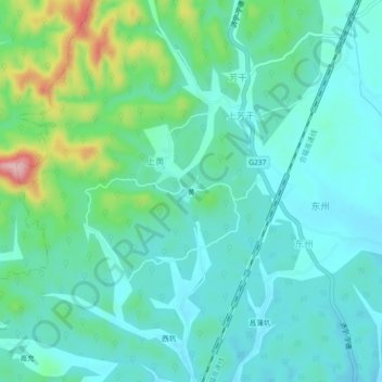
Name: Huang topographic map, elevation, terrain.
Location: Huang, Shangshan, Xiuning County, Huangshan, Anhui, China (29.66061 118.15193 29.70061 118.19193)
Average elevation: 183 m
Minimum elevation: 141 m
Maximum elevation: 332 m