
Thank you for supporting this site ❤️
Make a donation
Make a donation
Mannathivayal topographic map
Click on the map to display elevation.
Thank you for supporting this site ❤️
Make a donation
Make a donation
About this map
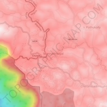
Name: Mannathivayal topographic map, elevation, terrain.
Location: Mannathivayal, Pandalur, Nilgiris, Tamil Nadu, 643205, India (11.50889 76.23352 11.54889 76.27352)
Average elevation: 812 m
Minimum elevation: 221 m
Maximum elevation: 952 m
Thank you for supporting this site ❤️
Make a donation
Make a donation
Other topographic maps
Click on a map to view its topography, its elevation and its terrain.