
Area G (Upper Similkameen/Hedley) topographic map
Interactive map
Click on the map to display elevation.
About this map
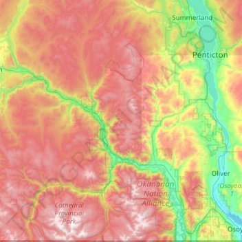
Name: Area G (Upper Similkameen/Hedley) topographic map, elevation, terrain.
Average elevation: 1,305 m
Minimum elevation: 277 m
Maximum elevation: 2,614 m