
Thank you for supporting this site ❤️
Make a donation
Make a donation
Río Guamez topographic map
Click on the map to display elevation.
Thank you for supporting this site ❤️
Make a donation
Make a donation
About this map
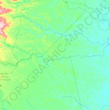
Name: Río Guamez topographic map, elevation, terrain.
Location: Río Guamez, Valle del Guamuez (La Hormiga), Putumayo, Colombia (0.47850 -76.88917 0.53843 -76.58579)
Average elevation: 292 m
Minimum elevation: 248 m
Maximum elevation: 497 m
Thank you for supporting this site ❤️
Make a donation
Make a donation
Other topographic maps
Click on a map to view its topography, its elevation and its terrain.