
Thank you for supporting this site ❤️
Make a donation
Make a donation
Rongga topographic map
Click on the map to display elevation.
Thank you for supporting this site ❤️
Make a donation
Make a donation
About this map
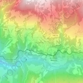
Name: Rongga topographic map, elevation, terrain.
Location: Rongga, St. Peter, Arosa, Plessur, Grisons, 7028, Switzerland (46.82373 9.63811 46.84373 9.65811)
Average elevation: 1,313 m
Minimum elevation: 917 m
Maximum elevation: 1,786 m
Thank you for supporting this site ❤️
Make a donation
Make a donation