
Thank you for supporting this site ❤️
Make a donation
Make a donation
Atkinson topographic map
Click on the map to display elevation.
Thank you for supporting this site ❤️
Make a donation
Make a donation
About this map
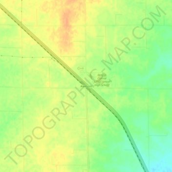
Name: Atkinson topographic map, elevation, terrain.
Location: Atkinson, Benton County, Indiana, 47971, United States (40.54282 -87.26668 40.58282 -87.22668)
Average elevation: 238 m
Minimum elevation: 218 m
Maximum elevation: 252 m
Thank you for supporting this site ❤️
Make a donation
Make a donation
Other topographic maps
Click on a map to view its topography, its elevation and its terrain.