
Thank you for supporting this site ❤️
Make a donation
Make a donation
Confidence topographic map
Click on the map to display elevation.
Thank you for supporting this site ❤️
Make a donation
Make a donation
About this map
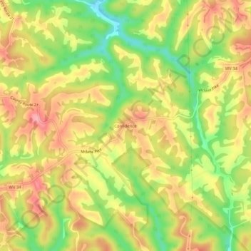
Name: Confidence topographic map, elevation, terrain.
Location: Confidence, Putnam County, West Virginia, United States (38.55259 -81.84874 38.59259 -81.80874)
Average elevation: 269 m
Minimum elevation: 200 m
Maximum elevation: 325 m
Thank you for supporting this site ❤️
Make a donation
Make a donation
Other topographic maps
Click on a map to view its topography, its elevation and its terrain.