
Luisium topographic map
Interactive map
Click on the map to display elevation.
About this map
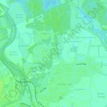
Name: Luisium topographic map, elevation, terrain.
Average elevation: 61 m
Minimum elevation: 56 m
Maximum elevation: 66 m
Other topographic maps
Click on a map to view its topography, its elevation and its terrain.
Waldersee
Deutschland > Sachsen-Anhalt > Dessau-Roßlau > Jonitz
Waldersee, Jonitz, Dessau-Roßlau, Sachsen-Anhalt, 06844, Deutschland
Average elevation: 62 m