
Thank you for supporting this site ❤️
Make a donation
Make a donation
Bender topographic map
Click on the map to display elevation.
Thank you for supporting this site ❤️
Make a donation
Make a donation
About this map
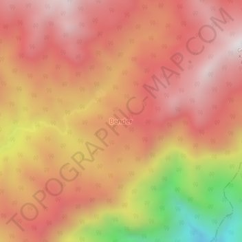
Name: Bender topographic map, elevation, terrain.
Location: Bender, Kuta Panjang, Gayo Lues, Aceh, Sumatra, Indonésia (3.74141 97.20073 3.78141 97.24073)
Average elevation: 2,891 m
Minimum elevation: 2,119 m
Maximum elevation: 3,284 m
Thank you for supporting this site ❤️
Make a donation
Make a donation