
Graya topographic map
Interactive map
Click on the map to display elevation.
About this map
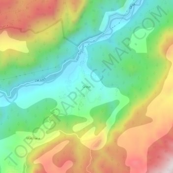
Name: Graya topographic map, elevation, terrain.
Location: Graya, Yeste, Albacete, Castilla-La Mancha, España (38.27910 -2.36600 38.31910 -2.32600)
Average elevation: 932 m
Minimum elevation: 605 m
Maximum elevation: 1,436 m