
Thank you for supporting this site ❤️
Make a donation
Make a donation
Ha Chele topographic map
Click on the map to display elevation.
Thank you for supporting this site ❤️
Make a donation
Make a donation
About this map
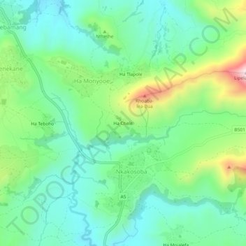
Name: Ha Chele topographic map, elevation, terrain.
Location: Ha Chele, Nkakosoba, Maseru District, Lesotho (-29.53343 27.75359 -29.49343 27.79359)
Average elevation: 2,028 m
Minimum elevation: 1,884 m
Maximum elevation: 2,384 m
Thank you for supporting this site ❤️
Make a donation
Make a donation