
Rochester topographic map
Interactive map
Click on the map to display elevation.
About this map
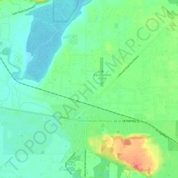
Name: Rochester topographic map, elevation, terrain.
Location: Rochester, Thurston County, Washington, United States (46.82092 -123.09711 46.83665 -123.03997)
Average elevation: 50 m
Minimum elevation: 22 m
Maximum elevation: 94 m