
West Chester Township topographic map
Interactive map
Click on the map to display elevation.
About this map
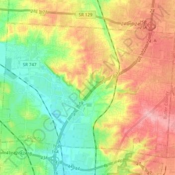
Name: West Chester Township topographic map, elevation, terrain.
Location: West Chester Township, Comté de Butler, Ohio, États-Unis (39.29582 -84.48450 39.37470 -84.34640)
Average elevation: 234 m
Minimum elevation: 174 m
Maximum elevation: 301 m