
Thank you for supporting this site ❤️
Make a donation
Make a donation
Photo topographic map
Click on the map to display elevation.
Thank you for supporting this site ❤️
Make a donation
Make a donation
About this map
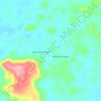
Name: Photo topographic map, elevation, terrain.
Location: Photo, District 2, Grand Bassa County, Liberia (6.34433 -9.89931 6.38433 -9.85931)
Average elevation: 155 m
Minimum elevation: 118 m
Maximum elevation: 273 m
Thank you for supporting this site ❤️
Make a donation
Make a donation