
Thank you for supporting this site ❤️
Make a donation
Make a donation
Os Coiñás topographic map
Click on the map to display elevation.
Thank you for supporting this site ❤️
Make a donation
Make a donation
About this map
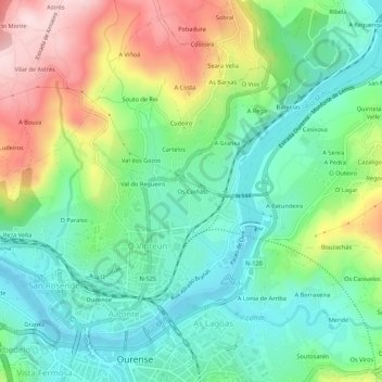
Name: Os Coiñás topographic map, elevation, terrain.
Location: Os Coiñás, Ourense, Galicia, 32960, Spain (42.34121 -7.87941 42.38121 -7.83941)
Average elevation: 201 m
Minimum elevation: 89 m
Maximum elevation: 418 m
Thank you for supporting this site ❤️
Make a donation
Make a donation