
성내리 topographic map
Interactive map
Click on the map to display elevation.
About this map
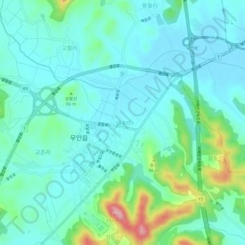
Name: 성내리 topographic map, elevation, terrain.
Location: 성내리, Muan, Jeolla du Sud, 58524, Corée du Sud (34.97388 126.45871 35.01388 126.49871)
Average elevation: 38 m
Minimum elevation: 3 m
Maximum elevation: 173 m