
Kingston topographic map
Interactive map
Click on the map to display elevation.
About this map
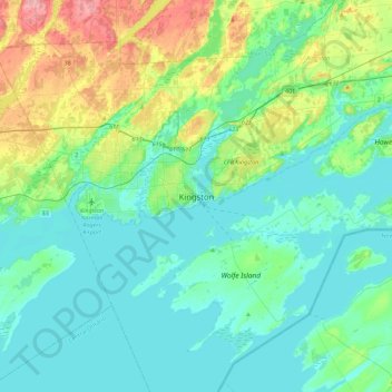
Name: Kingston topographic map, elevation, terrain.
Location: Kingston, Est de l'Ontario, Ontario, K7L 2Z3, Canada (44.07069 -76.64132 44.39069 -76.32132)
Average elevation: 94 m
Minimum elevation: 71 m
Maximum elevation: 179 m