
鹅屋乡 topographic map
Interactive map
Click on the map to display elevation.
About this map
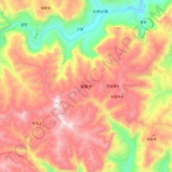
Name: 鹅屋乡 topographic map, elevation, terrain.
Location: 鹅屋乡, 长治市, 山西省, 中国 (35.84417 113.52300 35.92417 113.60300)
Average elevation: 1,206 m
Minimum elevation: 629 m
Maximum elevation: 1,643 m
Other topographic maps
Click on a map to view its topography, its elevation and its terrain.