
덕적면 topographic map
Interactive map
Click on the map to display elevation.
About this map
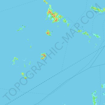
Name: 덕적면 topographic map, elevation, terrain.
Location: 덕적면, 옹진군, Inchon, 23130, Corée du Sud (36.92679 125.74926 37.28987 126.19430)
Average elevation: 2 m
Minimum elevation: -3 m
Maximum elevation: 313 m