
Thank you for supporting this site ❤️
Make a donation
Make a donation
Jaunupe topographic map
Click on the map to display elevation.
Thank you for supporting this site ❤️
Make a donation
Make a donation
About this map
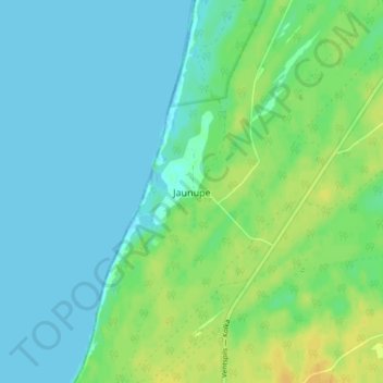
Name: Jaunupe topographic map, elevation, terrain.
Location: Jaunupe, Tārgales pagasts, Ventspils novads, Courland, Latvia (57.50445 21.66261 57.54445 21.70261)
Average elevation: 7 m
Minimum elevation: -1 m
Maximum elevation: 21 m
Thank you for supporting this site ❤️
Make a donation
Make a donation