
Fittleworth topographic map
Interactive map
Click on the map to display elevation.
About this map
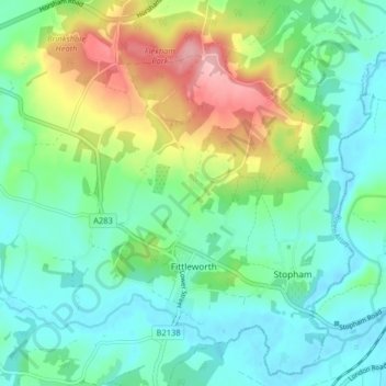
Name: Fittleworth topographic map, elevation, terrain.
Location: Fittleworth, Chichester, West Sussex, England, United Kingdom (50.94645 -0.59730 50.99712 -0.53765)
Average elevation: 45 m
Minimum elevation: -3 m
Maximum elevation: 155 m