
Ludlow topographic map
Interactive map
Click on the map to display elevation.
About this map
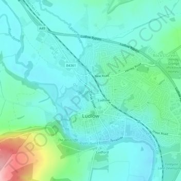
Name: Ludlow topographic map, elevation, terrain.
Location: Ludlow, Shropshire, Inglaterra, Reino Unido (52.36254 -2.74025 52.38117 -2.69417)
Average elevation: 108 m
Minimum elevation: 72 m
Maximum elevation: 254 m